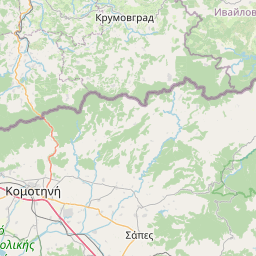
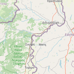
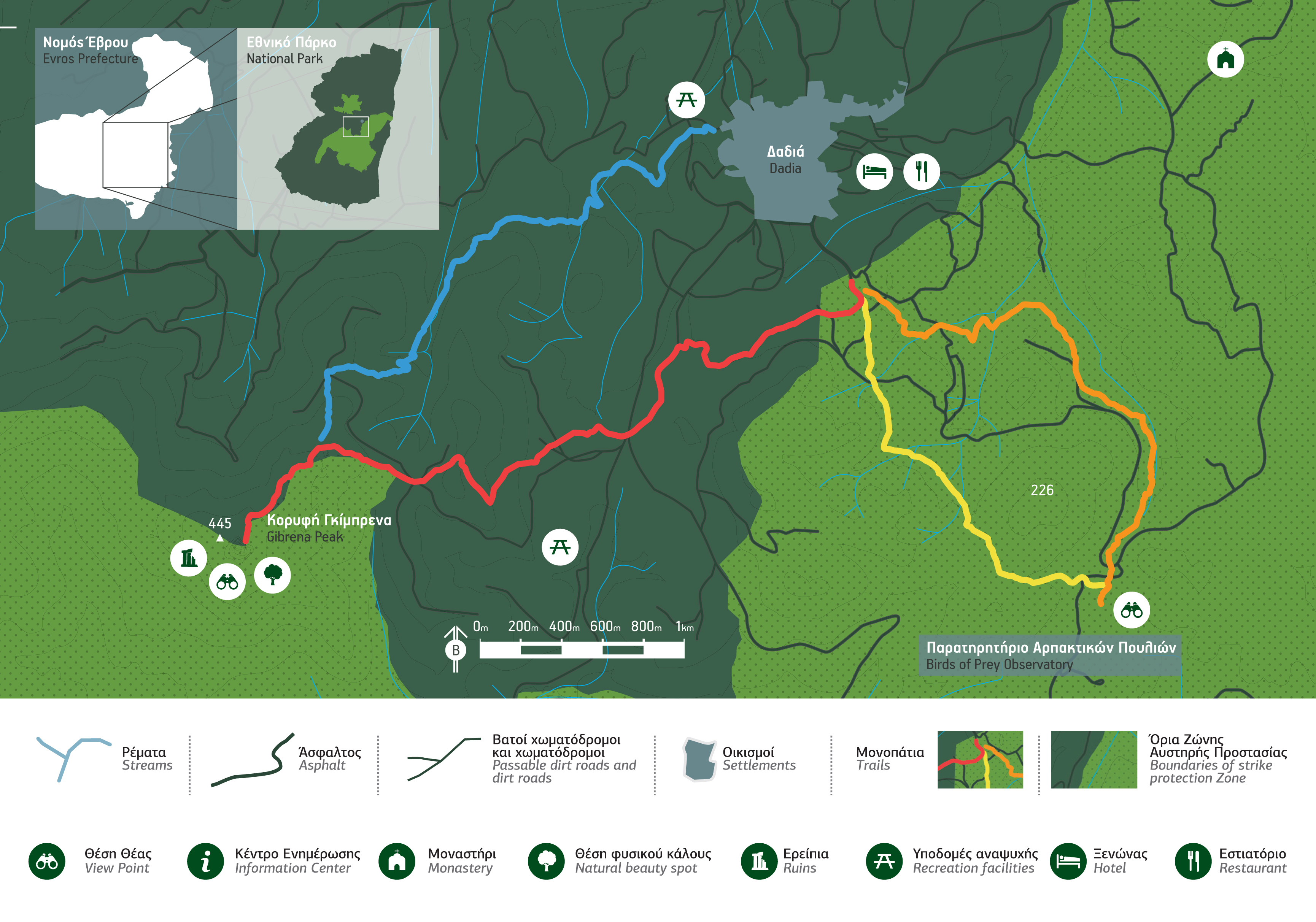
Στο Εθνικό Πάρκο Δάσους Δαδιάς-Λευκίμης-Σουφλίου υπάρχουν τέσσερα μονοπάτια πολλαπλών βαθμών δυσκολίας, στα οποία υπάρχει ελεύθερη πρόσβαση σε όλη τη διάρκεια του έτους:
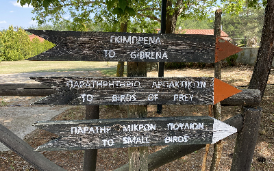
Πορτοκαλί μονοπάτι: Μικρή δυσκολία. Η διαδρομή διαρκεί λιγότερο από μία ώρα με αφετηρία το Κέντρο Ενημέρωσης του Εθνικού Πάρκου και προορισμό το εκπληκτικής θέας παρατηρητήριο αρπακτικών πουλιών μέσα από ένα πυκνό δάσος.
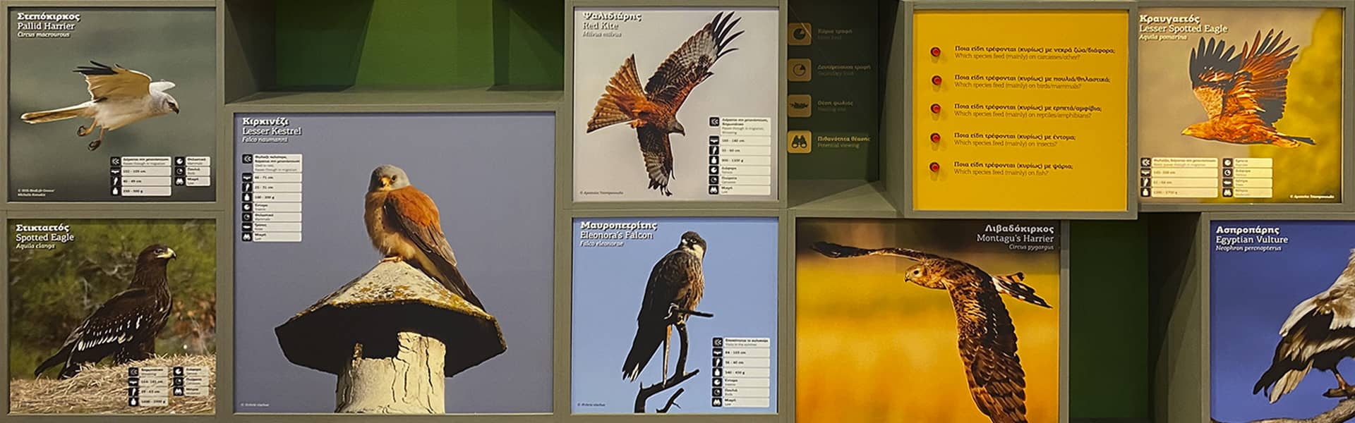
Κίτρινο μονοπάτι: Μικρή δυσκολία. Πρόκειται για την αντίστροφη διαδρομή, που κατεβαίνει από το παρατηρητήριο αρπακτικών πουλιών πίσω προς το Κέντρο Ενημέρωσης. Η διαδρομή είναι πλούσια σε χλωρίδα και πανίδα, ιδίως μικρόσωμων πουλιών.
Κόκκινο μονοπάτι: Μέτρια δυσκολία. Με αφετηρία το Κέντρο Ενημέρωσης, αυτή η δίωρη διαδρομή ανεβαίνει στην κορυφή της Γκίμπρενας διασχίζοντας ένα πυκνό δάσος που αποτελείται κυρίως από μαύρη πεύκη. Το μονοπάτι καταλήγει σε ένα σημείο εξαιρετικής θέας της προστατευόμενης περιοχής.
Μπλε μονοπάτι: Μέτρια δυσκολία. Πρόκειται για διαδρομή που κατεβαίνει από την Γκίμπρενα, για να καταλήξει στα όρια του μικρού οικισμού της Δαδιάς. Εκτός από δάση, η διαδρομή συναντά καλλιεργημένες εκτάσεις και βοσκοτόπια σε ένα συνεχώς εναλλασσόμενο τοπίο.
Χάρτης των μονοπατιών στον ιστότοπο του Εθνικού Πάρκου
Περιγραφή των μονοπατιών στον ιστότοπο του Εθνικού Πάρκου


Εταίροι


